Comprehensive Geospatial Solutions
From aerial drone surveys to digital twin creation, we provide end-to-end mapping solutions that transform how you visualize, analyze, and manage your spatial data.

Advanced Drone Survey
Our advanced drone survey services deliver high-precision aerial data for topographic mapping, volumetric analysis, construction monitoring, and site documentation. Using DGCA-approved drones equipped with high-resolution cameras and sensors, we capture detailed imagery that transforms into actionable geospatial data.
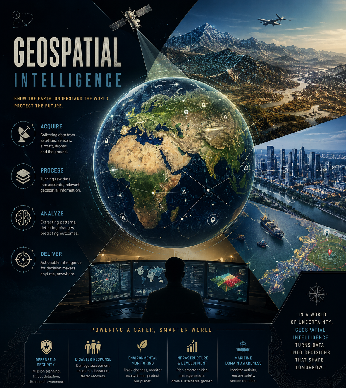
Geospatial Intelligence
Leverage the power of Geographic Information Systems (GIS) to turn complex spatial data into clear, actionable intelligence. Our GIS experts combine multiple data sources to create comprehensive maps, perform spatial analysis, and generate insights that drive informed decision-making.

LiDAR Survey & Mapping
Our LiDAR (Light Detection and Ranging) services provide highly accurate 3D point cloud data essential for terrain modeling, infrastructure assessment, forestry management, and urban planning. Equipped with advanced DJI Zenmuse L2 LiDAR sensor, we deliver comprehensive data for complex environments with exceptional precision.

Digital Twin Models
Create precise digital replicas of physical assets, infrastructure, and environments. Our digital twin solutions enable real-time monitoring, predictive maintenance, simulation, and scenario planning. Perfect for facilities management, urban planning, and industrial operations.

DGPS Solutions
Differential GPS (DGPS) provides the highest level of positioning accuracy essential for precision surveying, construction layout, and geo-referencing. Our DGPS solutions ensure centimeter-level accuracy for projects that demand the highest precision standards.
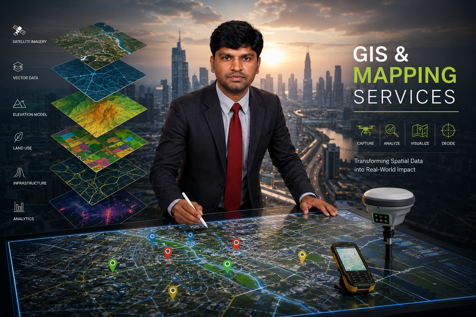
GIS & Mapping Services
Our GIS & Mapping services transform spatial data into powerful visual insights. We specialize in creating detailed maps, spatial databases, and interactive mapping solutions that help organizations make informed decisions based on location-based intelligence.
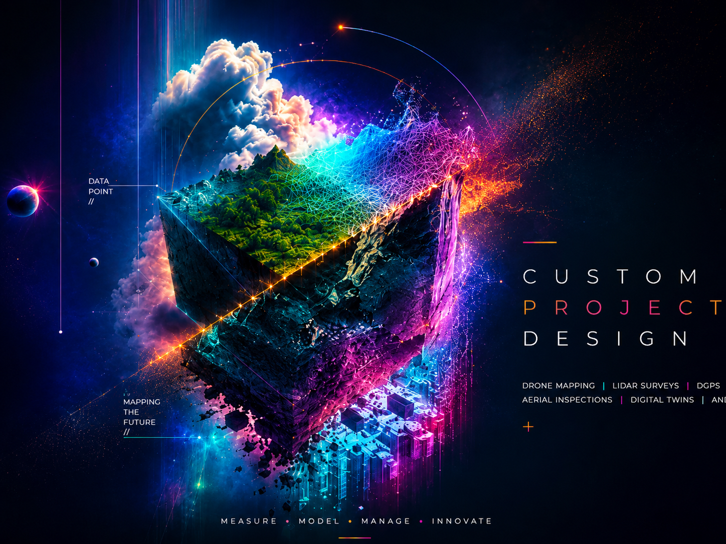
Custom Project Design
Every project is unique. Our custom project design service ensures you get exactly what you need. From initial consultation to final delivery, we work closely with you to understand your requirements and design solutions that address your specific challenges.

Solution Based Services
We go beyond standard services to provide complete solutions that address your unique geospatial challenges. From problem identification to implementation and support, our solution-based approach ensures sustainable results that deliver long-term value.
How We Work
A systematic approach ensuring quality and precision in every project.
Consultation
Understanding your requirements and project scope
Planning
Detailed project design and methodology selection
Execution
Field data collection with quality control
Delivery
Data processing, analysis, and final deliverables
Client Feedback
Reviewing results with you and refining to ensure satisfaction
Ready to Start Your Project?
Contact us for a free consultation and let's discuss how our services can bring precision and efficiency to your mapping needs.